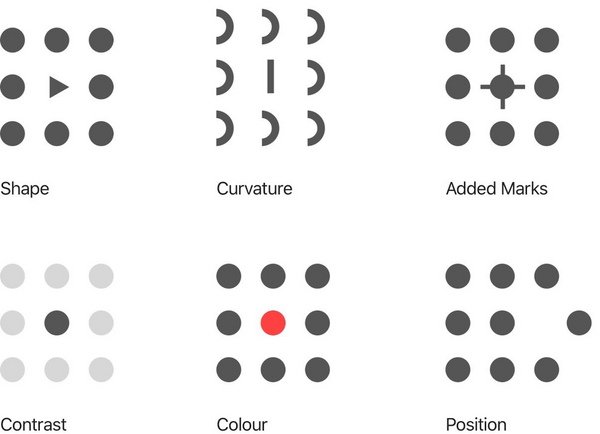
data analysis Visualizations for Density Estimations and T-tests How do visualizations contribute to a better understanding of numerical results? Libraries and methods considered are seaborn, pyplot, histograms and kernel density estimations.
geospatial data IPyLeaflet: The map is not the territory.. so what should it be? IPyLeaflet is a remarkable python library for mapping. It supports us in emphasising the things we discover. The example included looks at a hypothetical relationship between overflowing rubbish bins and increased pollution of trees nearby in a viennese neighbourhood.
visualization Rendering data on a map with Kepler.gl This blogpost documents how to encode data on a map. Information about a journey (list of places) are collected via a DIY self-tracking gadget. Code and data set are available at Github.